School Lane, Castle Combe
Introduction
The photograph on this page of School Lane, Castle Combe by Jaggery as part of the Geograph project.
The Geograph project started in 2005 with the aim of publishing, organising and preserving representative images for every square kilometre of Great Britain, Ireland and the Isle of Man.

There are currently over 7.5m images from over 14,400 individuals and you can help contribute to the project by visiting https://www.geograph.org.uk
School Lane, Castle Combe
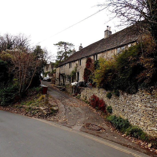
Image: © Jaggery Taken: 24 Nov 2013
A wooden post shows SCHOOL LANE PRIVATE ROAD and a No Entry sign which obviously doesn't apply to residents of School Lane. A black arrow points along the road descending towards Castle Combe village. A yellow arrow directs walkers along School Lane towards Nettleton Shrub (2½ miles).
Images are licensed for reuse under creativecommons.org/licenses/by-sa/2.0
Image Location
Latitude
51.496223
Longitude
-2.225965