Upton : The B3190
Introduction
The photograph on this page of Upton : The B3190 by Lewis Clarke as part of the Geograph project.
The Geograph project started in 2005 with the aim of publishing, organising and preserving representative images for every square kilometre of Great Britain, Ireland and the Isle of Man.

There are currently over 7.5m images from over 14,400 individuals and you can help contribute to the project by visiting https://www.geograph.org.uk
Upton : The B3190
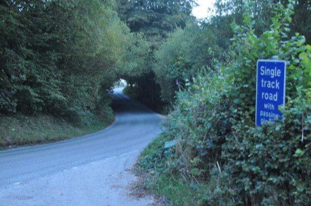
Image: © Lewis Clarke Taken: 13 Sep 2014
A road heading between Bampton and Watchet.
Images are licensed for reuse under creativecommons.org/licenses/by-sa/2.0
Image Location
Latitude
51.051032
Longitude
-3.438607