Canal Bridge at the bottom of Hyde Road
Introduction
The photograph on this page of Canal Bridge at the bottom of Hyde Road by A Holmes as part of the Geograph project.
The Geograph project started in 2005 with the aim of publishing, organising and preserving representative images for every square kilometre of Great Britain, Ireland and the Isle of Man.

There are currently over 7.5m images from over 14,400 individuals and you can help contribute to the project by visiting https://www.geograph.org.uk
Canal Bridge at the bottom of Hyde Road
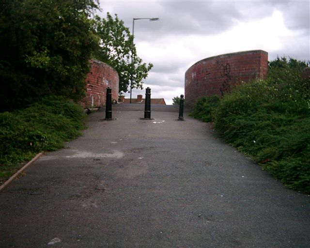
Image: © A Holmes Taken: 1 Jun 2002
This bridge was locally known as the "Dump Bridge" in the 1970s , as there was lots of rubbish was often dumped here. This is actually Moathouse Lane Bridge. There was once a Council Depot on the other side of the bridge and I vaguely remember seeing skips here.
Images are licensed for reuse under creativecommons.org/licenses/by-sa/2.0
Image Location
Latitude
52.607926
Longitude
-2.07704