Tankersley Common Side near Hoyland
Introduction
The photograph on this page of Tankersley Common Side near Hoyland by Neil Theasby as part of the Geograph project.
The Geograph project started in 2005 with the aim of publishing, organising and preserving representative images for every square kilometre of Great Britain, Ireland and the Isle of Man.

There are currently over 7.5m images from over 14,400 individuals and you can help contribute to the project by visiting https://www.geograph.org.uk
Tankersley Common Side near Hoyland
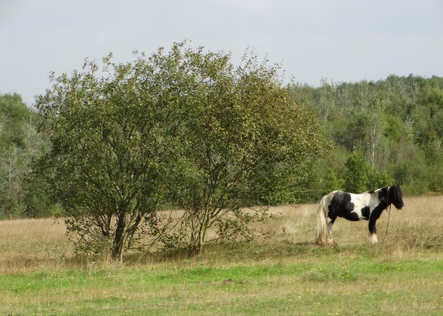
Image: © Neil Theasby Taken: 21 Sep 2014
One of several sad horses tethered on this rough private common land.
Images are licensed for reuse under creativecommons.org/licenses/by-sa/2.0
Image Location
Latitude
53.501461
Longitude
-1.470051