Sacombe: Rowney Lane
Introduction
The photograph on this page of Sacombe: Rowney Lane by Nigel Cox as part of the Geograph project.
The Geograph project started in 2005 with the aim of publishing, organising and preserving representative images for every square kilometre of Great Britain, Ireland and the Isle of Man.

There are currently over 7.5m images from over 14,400 individuals and you can help contribute to the project by visiting https://www.geograph.org.uk
Sacombe: Rowney Lane
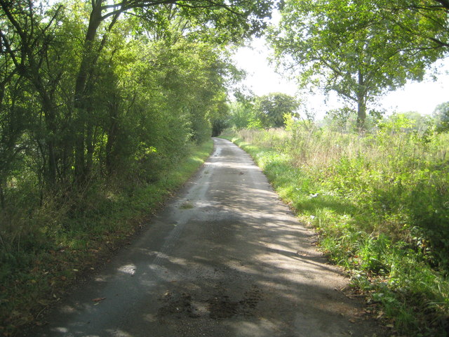
Image: © Nigel Cox Taken: 21 Sep 2014
Rowney leads from Sacombe Green to Rowney Priory. The OS show a height of 116 metres above sea level along the lane in this vicinity.
Images are licensed for reuse under creativecommons.org/licenses/by-sa/2.0
Image Location
Latitude
51.862454
Longitude
-0.047285