Barn Field (2)
Introduction
The photograph on this page of Barn Field (2) by Simon Carey as part of the Geograph project.
The Geograph project started in 2005 with the aim of publishing, organising and preserving representative images for every square kilometre of Great Britain, Ireland and the Isle of Man.

There are currently over 7.5m images from over 14,400 individuals and you can help contribute to the project by visiting https://www.geograph.org.uk
Barn Field (2)
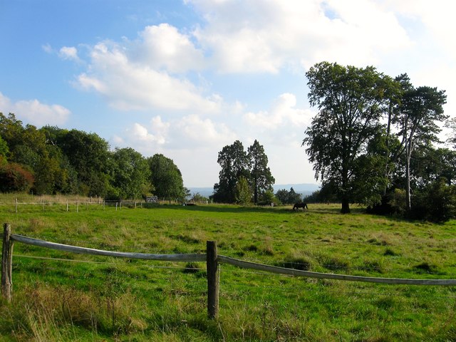
Image: © Simon Carey Taken: 19 Sep 2014
The name of the field according to Bolney's 1842 tithe map and another view of Image this time looking south. The line of trees on the left mark the course of the old sunken lane heading south to Bolney.
Images are licensed for reuse under creativecommons.org/licenses/by-sa/2.0
Image Location
Latitude
50.999239
Longitude
-0.204036