Byron Park sheltered housing, Northfield
Introduction
The photograph on this page of Byron Park sheltered housing, Northfield by Bill Harrison as part of the Geograph project.
The Geograph project started in 2005 with the aim of publishing, organising and preserving representative images for every square kilometre of Great Britain, Ireland and the Isle of Man.

There are currently over 7.5m images from over 14,400 individuals and you can help contribute to the project by visiting https://www.geograph.org.uk
Byron Park sheltered housing, Northfield
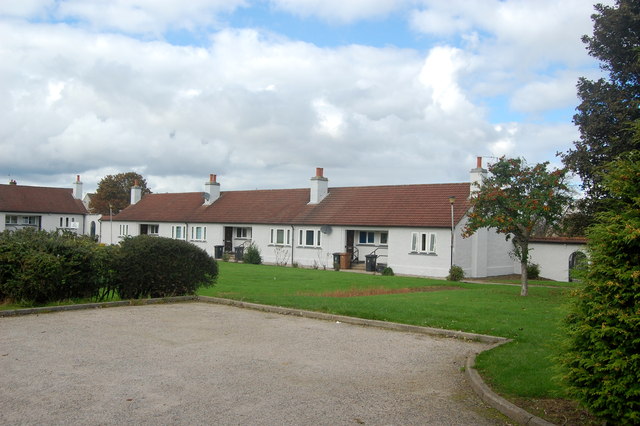
Image: © Bill Harrison Taken: 20 Sep 2014
This immaculate little grouping (although the satellite dishes and wheelie bins do nothing to help appearances) modeled on Almshouses seems to date from earlier that the 1960s, when most of Northfield estate was built. Any further information would be welcome.
Images are licensed for reuse under creativecommons.org/licenses/by-sa/2.0
Image Location
Latitude
57.162479
Longitude
-2.165149