Demolition of former ironmongers, Faversham Road
Introduction
The photograph on this page of Demolition of former ironmongers, Faversham Road by John Baker as part of the Geograph project.
The Geograph project started in 2005 with the aim of publishing, organising and preserving representative images for every square kilometre of Great Britain, Ireland and the Isle of Man.

There are currently over 7.5m images from over 14,400 individuals and you can help contribute to the project by visiting https://www.geograph.org.uk
Demolition of former ironmongers, Faversham Road
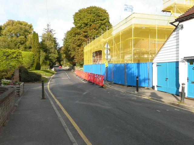
Image: © John Baker Taken: 14 Sep 2014
Planning permission has been granted by Maidstone Borough Council under application number 15/501072/FULL for “variation of Condition 20 (code for sustainable homes) of approved planning permission ref 13/1570 for demolition of existing fire-damaged building (class A1 retail use and B1 office use) and the erection of a mixed use development comprising class A1 retail use at ground floor level and 4 two bedroom apartments at first floor level". The Image had been derelict for several years.
Images are licensed for reuse under creativecommons.org/licenses/by-sa/2.0
Image Location
Latitude
51.237559
Longitude
0.718685