Layer de la Haye, village sign (detail)
Introduction
The photograph on this page of Layer de la Haye, village sign (detail) by Bikeboy as part of the Geograph project.
The Geograph project started in 2005 with the aim of publishing, organising and preserving representative images for every square kilometre of Great Britain, Ireland and the Isle of Man.

There are currently over 7.5m images from over 14,400 individuals and you can help contribute to the project by visiting https://www.geograph.org.uk
Layer de la Haye, village sign (detail)
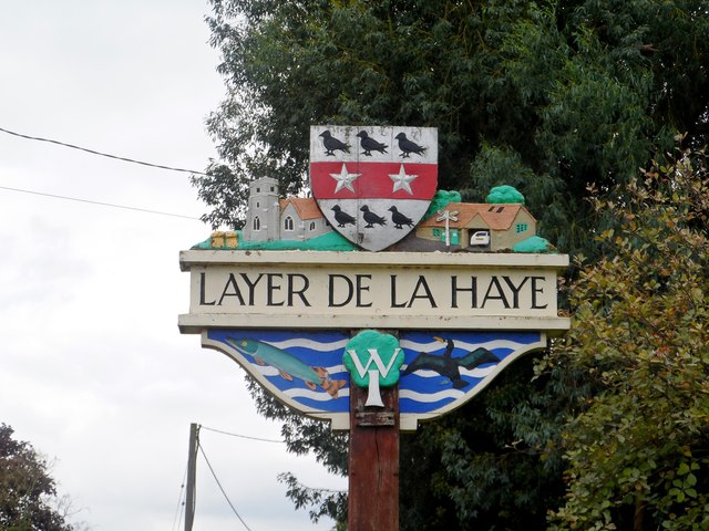
Image: © Bikeboy Taken: 13 Sep 2014
See http://www.geograph.org.uk/photo/4173600 for a wider view. The building on the top right of the sign is the Old Forge Garage. See
Images are licensed for reuse under creativecommons.org/licenses/by-sa/2.0
Image Location
Latitude
51.844365
Longitude
0.855151