Trig point of Haile
Introduction
The photograph on this page of Trig point of Haile by Trevor Littlewood as part of the Geograph project.
The Geograph project started in 2005 with the aim of publishing, organising and preserving representative images for every square kilometre of Great Britain, Ireland and the Isle of Man.

There are currently over 7.5m images from over 14,400 individuals and you can help contribute to the project by visiting https://www.geograph.org.uk
Trig point of Haile
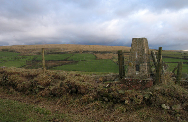
Image: © Trevor Littlewood Taken: 25 Jan 2005
The trig point known to the OS as Haile stands on an elevated field boundary close to the location of the Haile Mine from which iron ore was extracted. Cold Fell is the distant hill.
Images are licensed for reuse under creativecommons.org/licenses/by-sa/2.0
Image Location


Leaflet Map data © OpenStreetMap
Latitude
54.463192
Longitude
-3.477304