Route of Dere Street at High Woodside
Introduction
The photograph on this page of Route of Dere Street at High Woodside by Robert Graham as part of the Geograph project.
The Geograph project started in 2005 with the aim of publishing, organising and preserving representative images for every square kilometre of Great Britain, Ireland and the Isle of Man.

There are currently over 7.5m images from over 14,400 individuals and you can help contribute to the project by visiting https://www.geograph.org.uk
Route of Dere Street at High Woodside
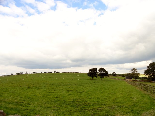
Image: © Robert Graham Taken: 7 Sep 2014
The Roman road ran west from the trees in the field on the right. There is a slight ridge visible across the field which may indicate it's position.
Images are licensed for reuse under creativecommons.org/licenses/by-sa/2.0
Image Location
Latitude
54.842556
Longitude
-1.785707