Kiln Cottage, Jeremy's Lane
Introduction
The photograph on this page of Kiln Cottage, Jeremy's Lane by Simon Carey as part of the Geograph project.
The Geograph project started in 2005 with the aim of publishing, organising and preserving representative images for every square kilometre of Great Britain, Ireland and the Isle of Man.

There are currently over 7.5m images from over 14,400 individuals and you can help contribute to the project by visiting https://www.geograph.org.uk
Kiln Cottage, Jeremy's Lane
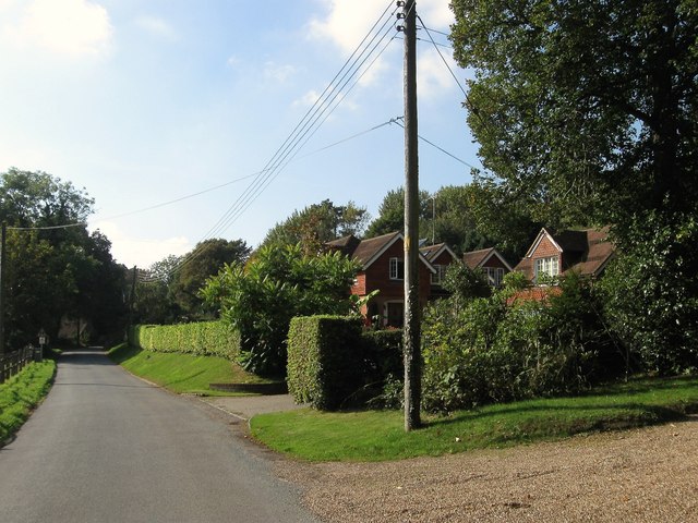
Image: © Simon Carey Taken: 19 Sep 2014
Built in the 19th century a reminder that the land behind was once part of Wykehurst Brickworks up to at least the First World War. Its neighbour to the west is Image
Images are licensed for reuse under creativecommons.org/licenses/by-sa/2.0
Image Location
Latitude
51.008146
Longitude
-0.204262