Wapses Croft/South Field
Introduction
The photograph on this page of Wapses Croft/South Field by Simon Carey as part of the Geograph project.
The Geograph project started in 2005 with the aim of publishing, organising and preserving representative images for every square kilometre of Great Britain, Ireland and the Isle of Man.

There are currently over 7.5m images from over 14,400 individuals and you can help contribute to the project by visiting https://www.geograph.org.uk
Wapses Croft/South Field
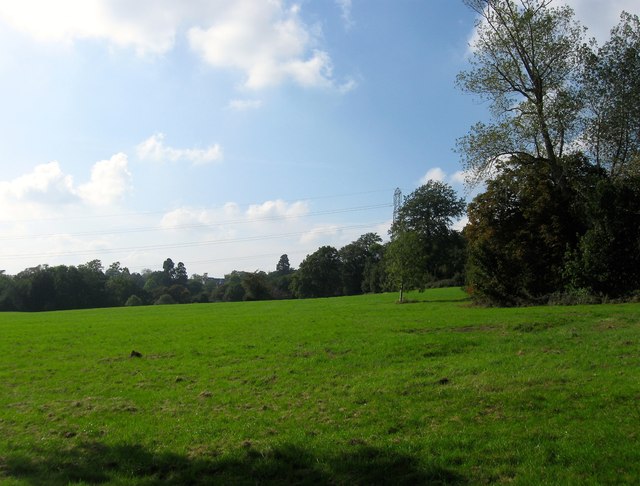
Image: © Simon Carey Taken: 19 Sep 2014
The name of the fields according to Bolney's 1842 tithe map that have been merged to form a larger unit and since the late 19th century have been part of Wykehurst Park. To the north beyond the trees is Jeremy's Lane.
Images are licensed for reuse under creativecommons.org/licenses/by-sa/2.0
Image Location
Latitude
51.007039
Longitude
-0.202452