Path in Alexandra Park
Introduction
The photograph on this page of Path in Alexandra Park by Nigel Mykura as part of the Geograph project.
The Geograph project started in 2005 with the aim of publishing, organising and preserving representative images for every square kilometre of Great Britain, Ireland and the Isle of Man.

There are currently over 7.5m images from over 14,400 individuals and you can help contribute to the project by visiting https://www.geograph.org.uk
Path in Alexandra Park
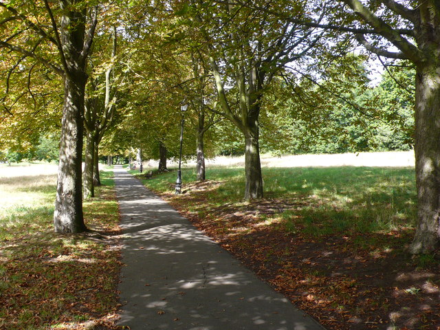
Image: © Nigel Mykura Taken: 24 Aug 2014
This path runs approximately east-west along the contours of the park in the extreme north west corner of the park close to Alexandra Palace Station.
Images are licensed for reuse under creativecommons.org/licenses/by-sa/2.0
Image Location


Leaflet Map data © OpenStreetMap
Latitude
51.596368
Longitude
-0.12427