Top Street, Bolney
Introduction
The photograph on this page of Top Street, Bolney by Simon Carey as part of the Geograph project.
The Geograph project started in 2005 with the aim of publishing, organising and preserving representative images for every square kilometre of Great Britain, Ireland and the Isle of Man.

There are currently over 7.5m images from over 14,400 individuals and you can help contribute to the project by visiting https://www.geograph.org.uk
Top Street, Bolney
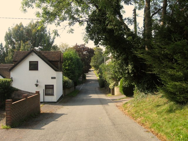
Image: © Simon Carey Taken: 19 Sep 2014
Top Street was laid out as a road after the enclosure of Bolney Common in 1841, it runs west from London Road to The Street. To the left is Windmill Cottage, a reminder of the former Bolney Mill which once stood on the old common from the 1770s until it was demolished in 1916 having ceased commercial production around the early 1890s. The junction with Cherry Lane can be seen in the dip.
Images are licensed for reuse under creativecommons.org/licenses/by-sa/2.0
Image Location
Latitude
50.997212
Longitude
-0.200836