Rossie Island coastal defences
Introduction
The photograph on this page of Rossie Island coastal defences by Andrew Diack as part of the Geograph project.
The Geograph project started in 2005 with the aim of publishing, organising and preserving representative images for every square kilometre of Great Britain, Ireland and the Isle of Man.

There are currently over 7.5m images from over 14,400 individuals and you can help contribute to the project by visiting https://www.geograph.org.uk
Rossie Island coastal defences
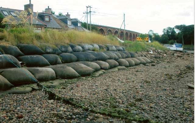
Image: © Andrew Diack Taken: 16 Aug 2014
In response to erosion threatening the coastal path on this bank of the Montrose Basin, filled sacks are being used as a relatively cost effective form of coastal defence.
Images are licensed for reuse under creativecommons.org/licenses/by-sa/2.0
Image Location
Latitude
56.701619
Longitude
-2.481896