Newtownabbey boundary sign, Greencastle
Introduction
The photograph on this page of Newtownabbey boundary sign, Greencastle by Albert Bridge as part of the Geograph project.
The Geograph project started in 2005 with the aim of publishing, organising and preserving representative images for every square kilometre of Great Britain, Ireland and the Isle of Man.

There are currently over 7.5m images from over 14,400 individuals and you can help contribute to the project by visiting https://www.geograph.org.uk
Newtownabbey boundary sign, Greencastle
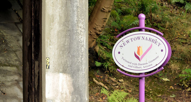
Image: © Albert Bridge Taken: 19 Sep 2014
The Belfast/Newtownabbey council boundary sign (background in Image) beside the M2 inward flyover on the Shore Road. My understanding of the proposed new boundaries, due in 2015, is that this one is unchanged, here, but Newtownabbey will become part of a bigger Antrim and Newtownabbey district.
Images are licensed for reuse under creativecommons.org/licenses/by-sa/2.0
Image Location
Latitude
54.648269
Longitude
-5.919736