Puddy Dale
Introduction
The photograph on this page of Puddy Dale by Sue Adair as part of the Geograph project.
The Geograph project started in 2005 with the aim of publishing, organising and preserving representative images for every square kilometre of Great Britain, Ireland and the Isle of Man.

There are currently over 7.5m images from over 14,400 individuals and you can help contribute to the project by visiting https://www.geograph.org.uk
Puddy Dale
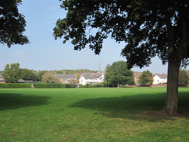
Image: © Sue Adair Taken: 17 Sep 2014
From 1909 to 1982 Heswall County Primary School occupied the eastern edge of this grassy area the centre of town which is known locally as 'Puddy Dale'.
Images are licensed for reuse under creativecommons.org/licenses/by-sa/2.0
Image Location
Latitude
53.330185
Longitude
-3.101044