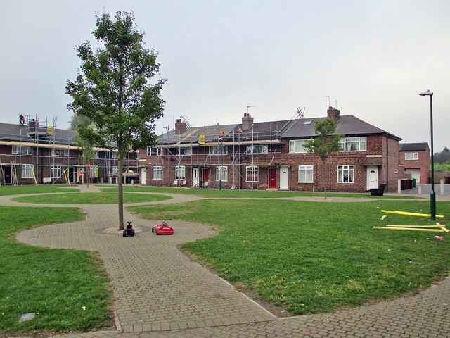
Re-roofing Chesil Cottages
Introduction
The photograph on this page of Re-roofing Chesil Cottages by John Sutton as part of the Geograph project.
The Geograph project started in 2005 with the aim of publishing, organising and preserving representative images for every square kilometre of Great Britain, Ireland and the Isle of Man.
There are currently over 7.5m images from over 14,400 individuals and you can help contribute to the project by visiting https://www.geograph.org.uk

Image: © John Sutton Taken: 16 Sep 2014
This part of Radford originally developed near the railway station in the last quarter of the 19th century. It expanded in the 1930s when these council houses were built, and new houses like the one in the background on the right replaced some of the Victorian ones in the 1970s. When I was a boy this area was locally known as Sodom.

