NCN2 in Kilminorth Wood
Introduction
The photograph on this page of NCN2 in Kilminorth Wood by Derek Harper as part of the Geograph project.
The Geograph project started in 2005 with the aim of publishing, organising and preserving representative images for every square kilometre of Great Britain, Ireland and the Isle of Man.

There are currently over 7.5m images from over 14,400 individuals and you can help contribute to the project by visiting https://www.geograph.org.uk
NCN2 in Kilminorth Wood
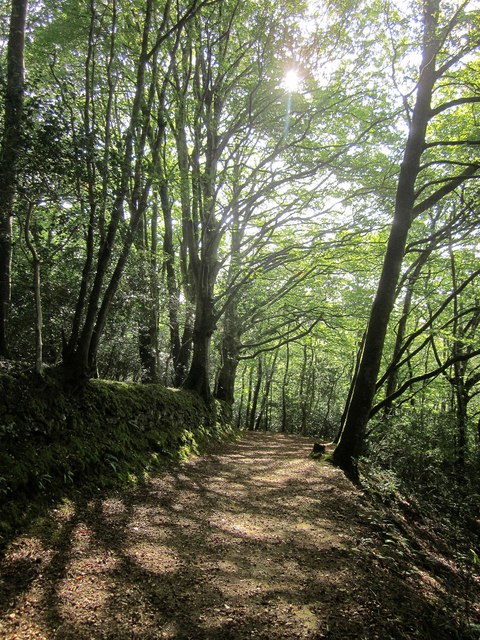
Image: © Derek Harper Taken: 16 Sep 2014
A wide track carries the cycle route down to the lane from Watergate to Kilminorth, on meeting which the route currently ends, according to the Sustrans map. This may still be the Giant's Hedge on the left (see Image]); the map is not clear.
Images are licensed for reuse under creativecommons.org/licenses/by-sa/2.0
Image Location
Latitude
50.362936
Longitude
-4.484619