Path junction, Kilminorth Wood
Introduction
The photograph on this page of Path junction, Kilminorth Wood by Derek Harper as part of the Geograph project.
The Geograph project started in 2005 with the aim of publishing, organising and preserving representative images for every square kilometre of Great Britain, Ireland and the Isle of Man.

There are currently over 7.5m images from over 14,400 individuals and you can help contribute to the project by visiting https://www.geograph.org.uk
Path junction, Kilminorth Wood
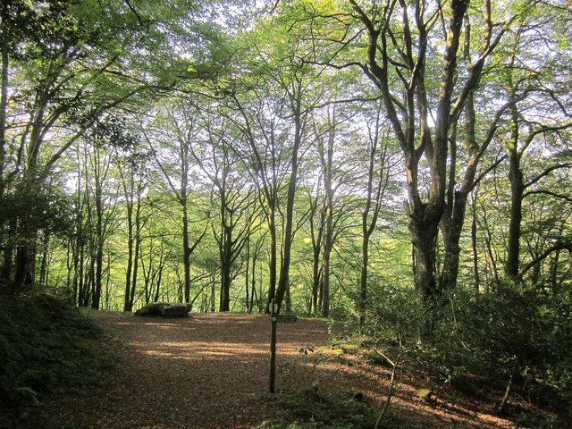
Image: © Derek Harper Taken: 16 Sep 2014
Footpath 612/6/2 turn right here to plunge down to Watergate, on the West Looe River, while NCN2 contiunes along the broad track, bending round into the side valley behind Watergate. On the left is the Giant's Hedge http://www.themodernantiquarian.com/site/766/giants_hedge.html .
Images are licensed for reuse under creativecommons.org/licenses/by-sa/2.0
Image Location
Latitude
50.363224
Longitude
-4.48379