Horseshoe Lane, Alderley Edge
Introduction
The photograph on this page of Horseshoe Lane, Alderley Edge by Jaggery as part of the Geograph project.
The Geograph project started in 2005 with the aim of publishing, organising and preserving representative images for every square kilometre of Great Britain, Ireland and the Isle of Man.

There are currently over 7.5m images from over 14,400 individuals and you can help contribute to the project by visiting https://www.geograph.org.uk
Horseshoe Lane, Alderley Edge
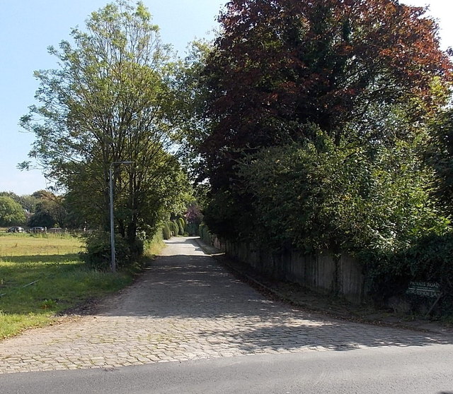
Image: © Jaggery Taken: 8 Sep 2014
Viewed across Wilmslow Road. The name sign on the right states that Horseshoe Lane is a private road, not maintained by the local authority.
Images are licensed for reuse under creativecommons.org/licenses/by-sa/2.0
Image Location
Latitude
53.307706
Longitude
-2.237226