Tollerton: St Peter - from the south
Introduction
The photograph on this page of Tollerton: St Peter - from the south by John Sutton as part of the Geograph project.
The Geograph project started in 2005 with the aim of publishing, organising and preserving representative images for every square kilometre of Great Britain, Ireland and the Isle of Man.

There are currently over 7.5m images from over 14,400 individuals and you can help contribute to the project by visiting https://www.geograph.org.uk
Tollerton: St Peter - from the south
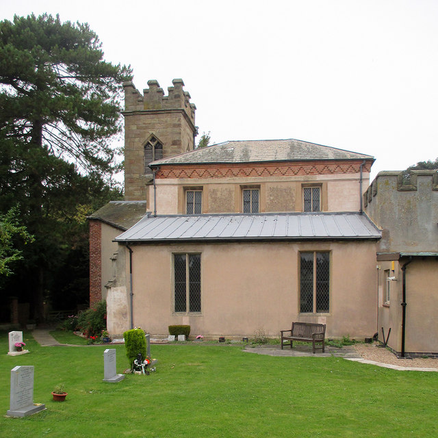
Image: © John Sutton Taken: 17 Sep 2014
Rebuilt in 1812 to match the next-door Hall. Take away the tower and it looks almost completely but not entirely unlike a church. Grade II listed: see http://www.britishlistedbuildings.co.uk/en-431211-church-of-st-peter-and-adjoining-wall-to
Images are licensed for reuse under creativecommons.org/licenses/by-sa/2.0
Image Location
Latitude
52.906757
Longitude
-1.086286