Rusty Sign
Introduction
The photograph on this page of Rusty Sign by Bikeboy as part of the Geograph project.
The Geograph project started in 2005 with the aim of publishing, organising and preserving representative images for every square kilometre of Great Britain, Ireland and the Isle of Man.

There are currently over 7.5m images from over 14,400 individuals and you can help contribute to the project by visiting https://www.geograph.org.uk
Rusty Sign
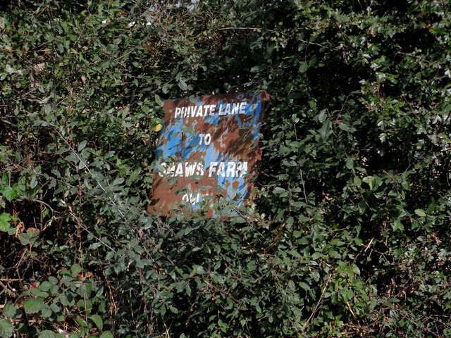
Image: © Bikeboy Taken: 13 Sep 2014
The private road is also a public footpath. See http://www.geograph.org.uk/photo/4171336 for the bridge that carries the road over the Great Eastern Mainline.
Images are licensed for reuse under creativecommons.org/licenses/by-sa/2.0
Image Location
Latitude
51.909099
Longitude
0.947085