Colchester Road, Ardleigh
Introduction
The photograph on this page of Colchester Road, Ardleigh by Bikeboy as part of the Geograph project.
The Geograph project started in 2005 with the aim of publishing, organising and preserving representative images for every square kilometre of Great Britain, Ireland and the Isle of Man.

There are currently over 7.5m images from over 14,400 individuals and you can help contribute to the project by visiting https://www.geograph.org.uk
Colchester Road, Ardleigh
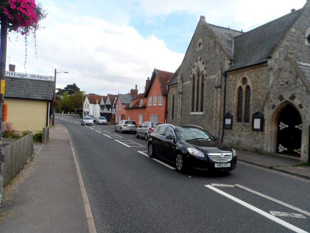
Image: © Bikeboy Taken: 13 Sep 2014
The building on the near right is a Methodist Church. The black and white timber-framed building on the far right was built in the C15 (with additions made in C16 and C17). At one time it was the King's Head public house. See http://www.britishlistedbuildings.co.uk/en-437230-ancient-house-ardleigh-essex for entry in British Listed Buildings.
Images are licensed for reuse under creativecommons.org/licenses/by-sa/2.0
Image Location
Latitude
51.925797
Longitude
0.983964