Bus turning circle, Farnsfield (2)
Introduction
The photograph on this page of Bus turning circle, Farnsfield (2) by Richard Vince as part of the Geograph project.
The Geograph project started in 2005 with the aim of publishing, organising and preserving representative images for every square kilometre of Great Britain, Ireland and the Isle of Man.

There are currently over 7.5m images from over 14,400 individuals and you can help contribute to the project by visiting https://www.geograph.org.uk
Bus turning circle, Farnsfield (2)
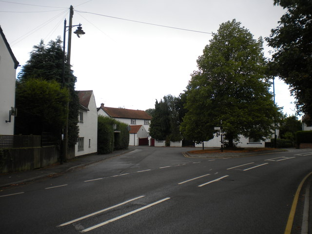
Image: © Richard Vince Taken: 2 Aug 2014
Off Main Street opposite the Lion pub. Buses on the 28 from Newark to Mansfield call in here, and the Sherwood Arrow turns here in order to serve Farnsfield on its way between Nottingham and New Ollerton, but for some reason the 28B between Mansfield and Eakring does not do the same, thereby omitting the village proper.
Images are licensed for reuse under creativecommons.org/licenses/by-sa/2.0
Image Location
Latitude
53.102609
Longitude
-1.037034