The junction of Alexander Road and Horwood Road, The Hollies
Introduction
The photograph on this page of The junction of Alexander Road and Horwood Road, The Hollies by John Baker as part of the Geograph project.
The Geograph project started in 2005 with the aim of publishing, organising and preserving representative images for every square kilometre of Great Britain, Ireland and the Isle of Man.

There are currently over 7.5m images from over 14,400 individuals and you can help contribute to the project by visiting https://www.geograph.org.uk
The junction of Alexander Road and Horwood Road, The Hollies
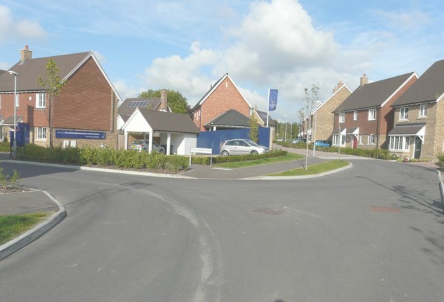
Image: © John Baker Taken: 14 Sep 2014
The Hollies is the name of the estate (still uncompleted) on which these roads are located, although the map doesn’t show any of the roads at present. Alexander Road is to the left.
Images are licensed for reuse under creativecommons.org/licenses/by-sa/2.0
Image Location
Latitude
51.242773
Longitude
0.667981