Padfield Main Road (to Tintwistle) looking towards Hadfield
Introduction
The photograph on this page of Padfield Main Road (to Tintwistle) looking towards Hadfield by Chris as part of the Geograph project.
The Geograph project started in 2005 with the aim of publishing, organising and preserving representative images for every square kilometre of Great Britain, Ireland and the Isle of Man.

There are currently over 7.5m images from over 14,400 individuals and you can help contribute to the project by visiting https://www.geograph.org.uk
Padfield Main Road (to Tintwistle) looking towards Hadfield
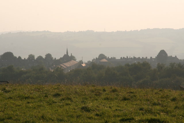
Image: © Chris Taken: 11 Sep 2014
A misty September evening. The church is St.Andrew's in Hadfield: see Image
Images are licensed for reuse under creativecommons.org/licenses/by-sa/2.0
Image Location
Latitude
53.460744
Longitude
-1.968483