Langton Way, looking east
Introduction
The photograph on this page of Langton Way, looking east by Stephen Craven as part of the Geograph project.
The Geograph project started in 2005 with the aim of publishing, organising and preserving representative images for every square kilometre of Great Britain, Ireland and the Isle of Man.

There are currently over 7.5m images from over 14,400 individuals and you can help contribute to the project by visiting https://www.geograph.org.uk
Langton Way, looking east
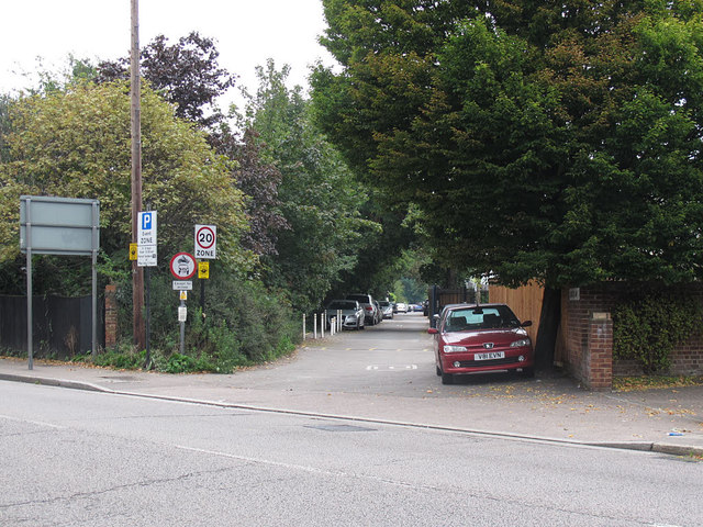
Image: © Stephen Craven Taken: 31 Aug 2014
Unlike the western end, the section of Langton Way east of Stratheden Road has been tarmac surfaced at some time, but is now in a bad state. It is closed to motor vehicles except for access, and the official 20mph speed limit is generous: the potholes and ferocious speed humps mean that 10mph is a maximum sensible speed anyway,
Images are licensed for reuse under creativecommons.org/licenses/by-sa/2.0
Image Location
Latitude
51.474425
Longitude
0.016883