Former Trinity Terrace in Oswestry
Introduction
The photograph on this page of Former Trinity Terrace in Oswestry by Jaggery as part of the Geograph project.
The Geograph project started in 2005 with the aim of publishing, organising and preserving representative images for every square kilometre of Great Britain, Ireland and the Isle of Man.

There are currently over 7.5m images from over 14,400 individuals and you can help contribute to the project by visiting https://www.geograph.org.uk
Former Trinity Terrace in Oswestry
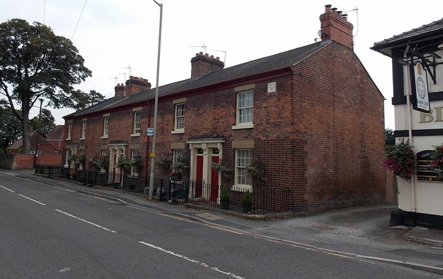
Image: © Jaggery Taken: 15 Sep 2014
Victorian row of houses with addresses now in Salop Road, built as Trinity Terrace in 1861, as shown on the name tablet on the right edge of the row. The Black Lion pub http://www.geograph.org.uk/photo/4167954 is on the right.
Images are licensed for reuse under creativecommons.org/licenses/by-sa/2.0
Image Location
Latitude
52.856446
Longitude
-3.050695