The Stream Through Tathall End
Introduction
The photograph on this page of The Stream Through Tathall End by Nigel Stickells as part of the Geograph project.
The Geograph project started in 2005 with the aim of publishing, organising and preserving representative images for every square kilometre of Great Britain, Ireland and the Isle of Man.

There are currently over 7.5m images from over 14,400 individuals and you can help contribute to the project by visiting https://www.geograph.org.uk
The Stream Through Tathall End
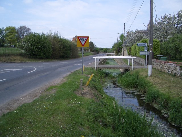
Image: © Nigel Stickells Taken: 26 Apr 2007
The road through Tathall End is accompanied by this attractive stream with bridges across allowing driveway access into local houses. The stream is prone to flash flooding in Winter when it can rise to a sufficient depth to make the road impassable for private cars.
Images are licensed for reuse under creativecommons.org/licenses/by-sa/2.0
Image Location
Latitude
52.114339
Longitude
-0.802606