Pembroke House, Hallfield Estate
Introduction
The photograph on this page of Pembroke House, Hallfield Estate by David Anstiss as part of the Geograph project.
The Geograph project started in 2005 with the aim of publishing, organising and preserving representative images for every square kilometre of Great Britain, Ireland and the Isle of Man.

There are currently over 7.5m images from over 14,400 individuals and you can help contribute to the project by visiting https://www.geograph.org.uk
Pembroke House, Hallfield Estate
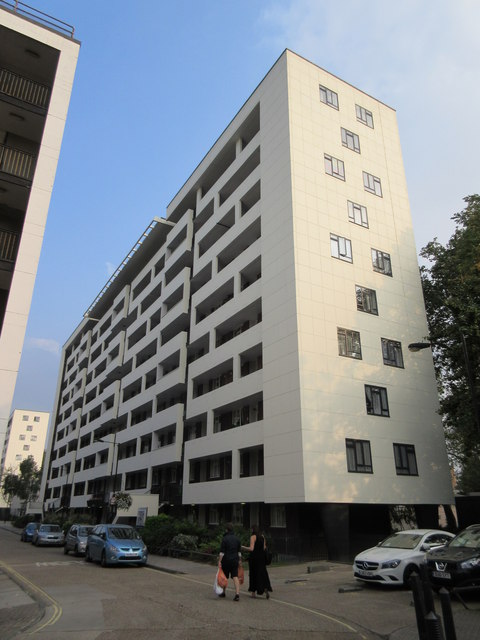
Image: © David Anstiss Taken: 6 Sep 2014
One of the 14 Grade II listed blocks of the Estate on Leinster Gardens. As seen from the access road leading through the estate. Newbury House is just seen on the left. See http://www.britishlistedbuildings.co.uk/en-1402283-hallfield-estate-14-residential-blocks-for more details on the estate.
Images are licensed for reuse under creativecommons.org/licenses/by-sa/2.0
Image Location
Latitude
51.515431
Longitude
-0.186833