Upper Bridge Road, Redhill
Introduction
The photograph on this page of Upper Bridge Road, Redhill by John Winder as part of the Geograph project.
The Geograph project started in 2005 with the aim of publishing, organising and preserving representative images for every square kilometre of Great Britain, Ireland and the Isle of Man.

There are currently over 7.5m images from over 14,400 individuals and you can help contribute to the project by visiting https://www.geograph.org.uk
Upper Bridge Road, Redhill
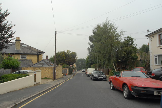
Image: © John Winder Taken: 7 Sep 2014
The house on the left is the house my fiancee was brought up in. The elderly Triumph TR7 on the right - clearly in daily use - adds interest to what is otherwise a pretty dull photograph!
Images are licensed for reuse under creativecommons.org/licenses/by-sa/2.0
Image Location
Latitude
51.23735
Longitude
-0.173434