Numbers 10 & 11, The Causeway
Introduction
The photograph on this page of Numbers 10 & 11, The Causeway by Andy Potter as part of the Geograph project.
The Geograph project started in 2005 with the aim of publishing, organising and preserving representative images for every square kilometre of Great Britain, Ireland and the Isle of Man.

There are currently over 7.5m images from over 14,400 individuals and you can help contribute to the project by visiting https://www.geograph.org.uk
Numbers 10 & 11, The Causeway
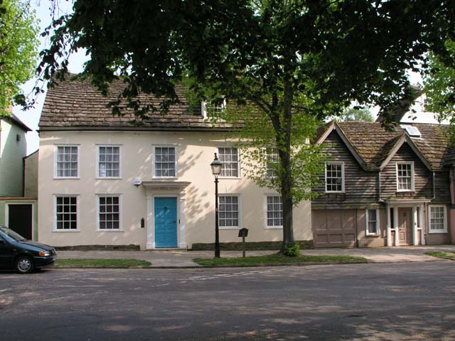
Image: © Andy Potter Taken: 28 Apr 2007
Outside of number 10 (Causeway Lodge) is one of the Horsham Heritage Trail blue plaques. This one marks the location of the remains of a WW2 roadblock which it describes as dragons teeth (although I suspect it may have been a hedgehog).
Images are licensed for reuse under creativecommons.org/licenses/by-sa/2.0
Image Location
Latitude
51.061133
Longitude
-0.326655