Under the docks branch viaduct, Gloucester
Introduction
The photograph on this page of Under the docks branch viaduct, Gloucester by John Winder as part of the Geograph project.
The Geograph project started in 2005 with the aim of publishing, organising and preserving representative images for every square kilometre of Great Britain, Ireland and the Isle of Man.

There are currently over 7.5m images from over 14,400 individuals and you can help contribute to the project by visiting https://www.geograph.org.uk
Under the docks branch viaduct, Gloucester
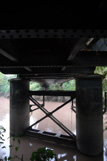
Image: © John Winder Taken: 13 Sep 2014
This view shows the steel viaduct piers, now in poor condition after 25 years or so with no maintenance. These replaced the original wooden piers when the viaduct was rebuilt in 1910.
Images are licensed for reuse under creativecommons.org/licenses/by-sa/2.0
Image Location
Latitude
51.862548
Longitude
-2.258294