Path to Newlands Farm
Introduction
The photograph on this page of Path to Newlands Farm by Marathon as part of the Geograph project.
The Geograph project started in 2005 with the aim of publishing, organising and preserving representative images for every square kilometre of Great Britain, Ireland and the Isle of Man.

There are currently over 7.5m images from over 14,400 individuals and you can help contribute to the project by visiting https://www.geograph.org.uk
Path to Newlands Farm
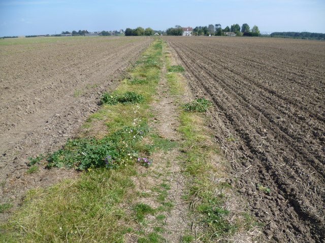
Image: © Marathon Taken: 13 Sep 2014
This track leads from the Saxon Shore Way near High Halstow, across Decoy Hill Road and past Newlands Farm to St Mary Hoo. Here it approaches the attractive group of Newlands Farm with its pond and seat next to the path - see http://www.geograph.org.uk/photo/4166328
Images are licensed for reuse under creativecommons.org/licenses/by-sa/2.0
Image Location
Latitude
51.457182
Longitude
0.583872