Fortuneswell, Merchant's Incline
Introduction
The photograph on this page of Fortuneswell, Merchant's Incline by Mike Faherty as part of the Geograph project.
The Geograph project started in 2005 with the aim of publishing, organising and preserving representative images for every square kilometre of Great Britain, Ireland and the Isle of Man.

There are currently over 7.5m images from over 14,400 individuals and you can help contribute to the project by visiting https://www.geograph.org.uk
Fortuneswell, Merchant's Incline
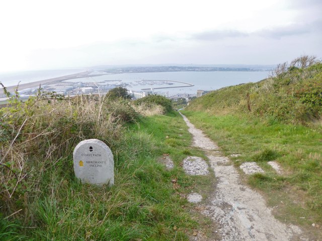
Image: © Mike Faherty Taken: 13 Sep 2014
The top of the incline (also known as Freeman's Incline), used to transport stone from quarries at Verne to Castletown. http://www.portlandbill.co.uk/merchants_railway.htm
Images are licensed for reuse under creativecommons.org/licenses/by-sa/2.0
Image Location
Latitude
50.563025
Longitude
-2.441012