Footpath beside Lower Lliw reservoir
Introduction
The photograph on this page of Footpath beside Lower Lliw reservoir by john bristow as part of the Geograph project.
The Geograph project started in 2005 with the aim of publishing, organising and preserving representative images for every square kilometre of Great Britain, Ireland and the Isle of Man.

There are currently over 7.5m images from over 14,400 individuals and you can help contribute to the project by visiting https://www.geograph.org.uk
Footpath beside Lower Lliw reservoir
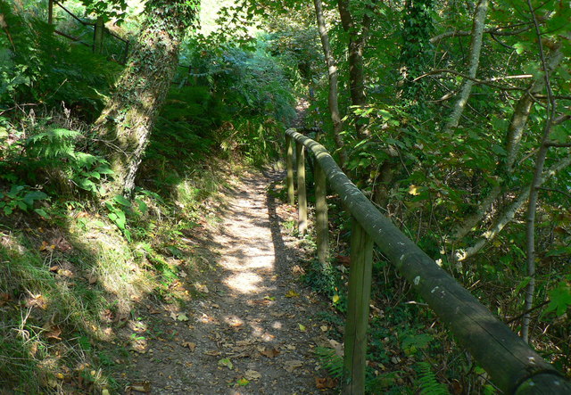
Image: © john bristow Taken: 10 Sep 2014
This path runs along the western side of the reservoir and forms a circular route via a bridge at the upstream end of the reservoir.
Images are licensed for reuse under creativecommons.org/licenses/by-sa/2.0
Image Location
Latitude
51.717325
Longitude
-3.951863