The Lady Burn
Introduction
The photograph on this page of The Lady Burn by Thomas Nugent as part of the Geograph project.
The Geograph project started in 2005 with the aim of publishing, organising and preserving representative images for every square kilometre of Great Britain, Ireland and the Isle of Man.

There are currently over 7.5m images from over 14,400 individuals and you can help contribute to the project by visiting https://www.geograph.org.uk
The Lady Burn
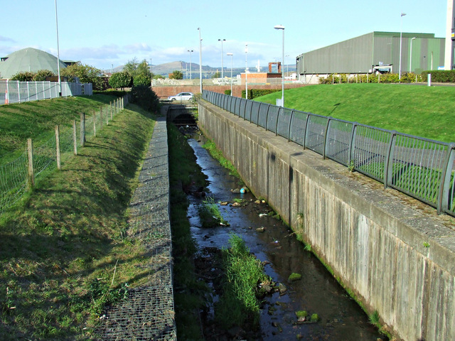
Image: © Thomas Nugent Taken: 7 Sep 2014
Looking rather tame at the moment, but this burn often swells at high tide to flood the A8 dual carriageway which can be seen in the background.
Images are licensed for reuse under creativecommons.org/licenses/by-sa/2.0
Image Location


Leaflet Map data © OpenStreetMap
Latitude
55.940629
Longitude
-4.72187