Baling near Hulland Ward
Introduction
The photograph on this page of Baling near Hulland Ward by Jonathan Clitheroe as part of the Geograph project.
The Geograph project started in 2005 with the aim of publishing, organising and preserving representative images for every square kilometre of Great Britain, Ireland and the Isle of Man.

There are currently over 7.5m images from over 14,400 individuals and you can help contribute to the project by visiting https://www.geograph.org.uk
Baling near Hulland Ward
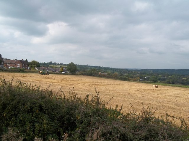
Image: © Jonathan Clitheroe Taken: 13 Sep 2014
A baling machine at work in a field at the eastern fringe of Hulland Ward. The dwellings and farm machine are both located over the line in SK2547.
Images are licensed for reuse under creativecommons.org/licenses/by-sa/2.0
Image Location
Latitude
53.019941
Longitude
-1.61386