Drury Lane, WC2 (1)
Introduction
The photograph on this page of Drury Lane, WC2 (1) by Danny P Robinson as part of the Geograph project.
The Geograph project started in 2005 with the aim of publishing, organising and preserving representative images for every square kilometre of Great Britain, Ireland and the Isle of Man.

There are currently over 7.5m images from over 14,400 individuals and you can help contribute to the project by visiting https://www.geograph.org.uk
Drury Lane, WC2 (1)
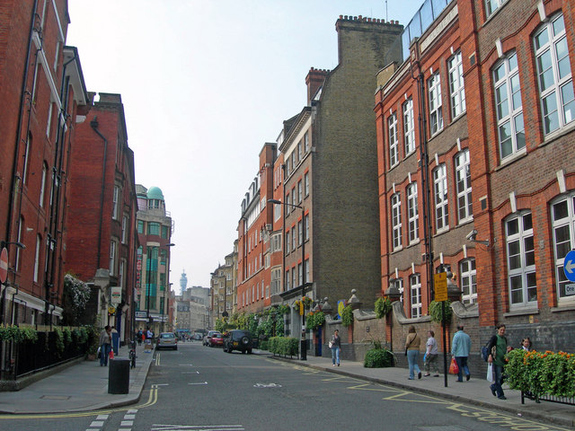
Image: © Danny P Robinson Taken: 27 Apr 2007
Near Tavistock Street. The school on the right is St Clement Danes C of E Primary School (even in the heart of the city, this is a residential area hence the need for a school).
Images are licensed for reuse under creativecommons.org/licenses/by-sa/2.0
Image Location


Leaflet Map data © OpenStreetMap
Latitude
51.512839
Longitude
-0.119344