Fatfield House
Introduction
The photograph on this page of Fatfield House by Robert Graham as part of the Geograph project.
The Geograph project started in 2005 with the aim of publishing, organising and preserving representative images for every square kilometre of Great Britain, Ireland and the Isle of Man.

There are currently over 7.5m images from over 14,400 individuals and you can help contribute to the project by visiting https://www.geograph.org.uk
Fatfield House
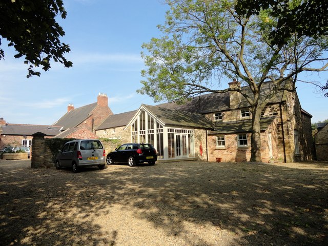
Image: © Robert Graham Taken: 5 Sep 2014
Large old house in the village of Fatfield. Now part of a housing estate, but was once a manor house or large farm back in the 19th century.
Images are licensed for reuse under creativecommons.org/licenses/by-sa/2.0
Image Location
Latitude
54.880656
Longitude
-1.529738