The Royal Military Canal, Romney Marsh, Kent
Introduction
The photograph on this page of The Royal Military Canal, Romney Marsh, Kent by Ron Strutt as part of the Geograph project.
The Geograph project started in 2005 with the aim of publishing, organising and preserving representative images for every square kilometre of Great Britain, Ireland and the Isle of Man.

There are currently over 7.5m images from over 14,400 individuals and you can help contribute to the project by visiting https://www.geograph.org.uk
The Royal Military Canal, Romney Marsh, Kent
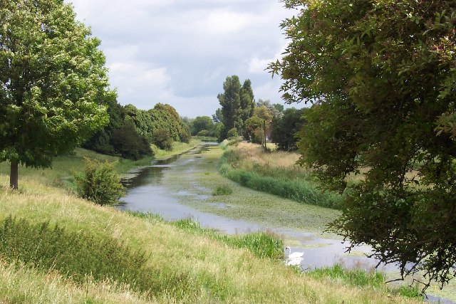
Image: © Ron Strutt Taken: 29 Jun 2004
The Royal Military Canal ran between Hythe and Rye and was completed in 1809. It was built as a defensive line to guard against a threatened invasion by Napoleon. Every five hundred yards there is a kink in the canal, allowing guns mounted on the northern bank to fire along the length of the canal at anyone trying to cross.
Images are licensed for reuse under creativecommons.org/licenses/by-sa/2.0
Image Location


Leaflet Map data © OpenStreetMap
Latitude
51.026224
Longitude
0.786165