King?s Nympton: on Broomham Moor
Introduction
The photograph on this page of King?s Nympton: on Broomham Moor by Martin Bodman as part of the Geograph project.
The Geograph project started in 2005 with the aim of publishing, organising and preserving representative images for every square kilometre of Great Britain, Ireland and the Isle of Man.

There are currently over 7.5m images from over 14,400 individuals and you can help contribute to the project by visiting https://www.geograph.org.uk
King?s Nympton: on Broomham Moor
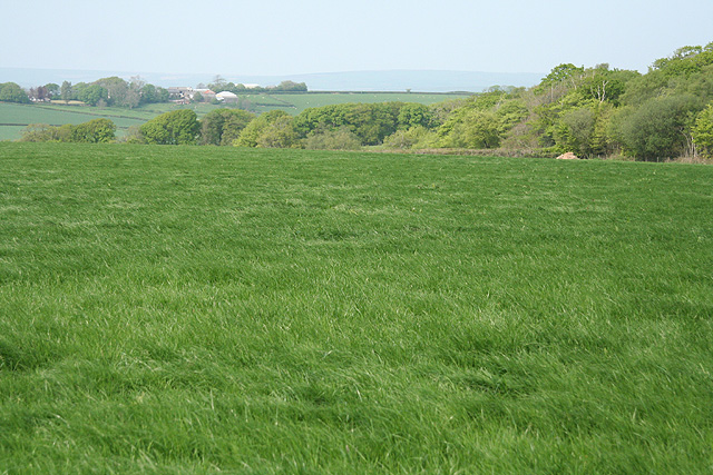
Image: © Martin Bodman Taken: 28 Apr 2007
Looking north-north-east towards Highridge. Seen from the diverted public bridleway between Kingstreet and Beara Cross
Images are licensed for reuse under creativecommons.org/licenses/by-sa/2.0
Image Location
Latitude
50.960397
Longitude
-3.841072