Main Street, Irton
Introduction
The photograph on this page of Main Street, Irton by Christopher Hall as part of the Geograph project.
The Geograph project started in 2005 with the aim of publishing, organising and preserving representative images for every square kilometre of Great Britain, Ireland and the Isle of Man.

There are currently over 7.5m images from over 14,400 individuals and you can help contribute to the project by visiting https://www.geograph.org.uk
Main Street, Irton
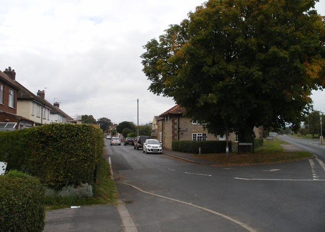
Image: © Christopher Hall Taken: 13 Sep 2014
This fine street tree is at the junction of Main street with the B1261 Seamer Road which runs towards East Ayton.
Images are licensed for reuse under creativecommons.org/licenses/by-sa/2.0
Image Location
Latitude
54.242667
Longitude
-0.446882