The western end of Creamery Road, Crossmaglen
Introduction
The photograph on this page of The western end of Creamery Road, Crossmaglen by Eric Jones as part of the Geograph project.
The Geograph project started in 2005 with the aim of publishing, organising and preserving representative images for every square kilometre of Great Britain, Ireland and the Isle of Man.

There are currently over 7.5m images from over 14,400 individuals and you can help contribute to the project by visiting https://www.geograph.org.uk
The western end of Creamery Road, Crossmaglen
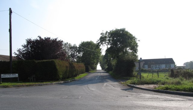
Image: © Eric Jones Taken: 11 Sep 2014
This provides a short-cut, by-passing the centre of the town, between the B135 and the B30 Newry Road.
Images are licensed for reuse under creativecommons.org/licenses/by-sa/2.0
Image Location
Latitude
54.089531
Longitude
-6.608834