King?s Nympton: footpath above New Mill
Introduction
The photograph on this page of King?s Nympton: footpath above New Mill by Martin Bodman as part of the Geograph project.
The Geograph project started in 2005 with the aim of publishing, organising and preserving representative images for every square kilometre of Great Britain, Ireland and the Isle of Man.

There are currently over 7.5m images from over 14,400 individuals and you can help contribute to the project by visiting https://www.geograph.org.uk
King?s Nympton: footpath above New Mill
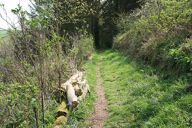
Image: © Martin Bodman Taken: 28 Apr 2007
The path runs up the Little Silver valley to Kempstown and Romansleigh. Looking south east
Images are licensed for reuse under creativecommons.org/licenses/by-sa/2.0
Image Location
Latitude
50.981792
Longitude
-3.818696