Beam Farm
Introduction
The photograph on this page of Beam Farm by Raymond Okonski as part of the Geograph project.
The Geograph project started in 2005 with the aim of publishing, organising and preserving representative images for every square kilometre of Great Britain, Ireland and the Isle of Man.

There are currently over 7.5m images from over 14,400 individuals and you can help contribute to the project by visiting https://www.geograph.org.uk
Beam Farm
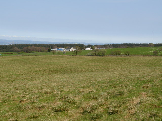
Image: © Raymond Okonski Taken: 28 Apr 2007
Secluded in its own valley, it appears Beam Farm exudes a little tranquillity. However the local farmer explained his plans to convert this former Dairy farm into a pasture for horses were being thwarted by local government - due to a native flock of geese, farmers with many hectares of land are being prohibited from developing their land usage in case the geese are 'upset' at the change!
Images are licensed for reuse under creativecommons.org/licenses/by-sa/2.0
Image Location
Latitude
55.970049
Longitude
-3.86607