West side of Gelliron Cemetery, Pontycymer
Introduction
The photograph on this page of West side of Gelliron Cemetery, Pontycymer by Jaggery as part of the Geograph project.
The Geograph project started in 2005 with the aim of publishing, organising and preserving representative images for every square kilometre of Great Britain, Ireland and the Isle of Man.

There are currently over 7.5m images from over 14,400 individuals and you can help contribute to the project by visiting https://www.geograph.org.uk
West side of Gelliron Cemetery, Pontycymer
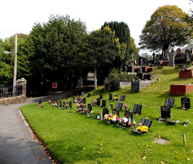
Image: © Jaggery Taken: 6 Sep 2014
The cemetery is on a hillside at the eastern edge of the village. This is the lowest level, near the main entrance from Alexandra Road.
Images are licensed for reuse under creativecommons.org/licenses/by-sa/2.0
Image Location
Latitude
51.611331
Longitude
-3.579594