One street, two Welsh names, Pontycymer
Introduction
The photograph on this page of One street, two Welsh names, Pontycymer by Jaggery as part of the Geograph project.
The Geograph project started in 2005 with the aim of publishing, organising and preserving representative images for every square kilometre of Great Britain, Ireland and the Isle of Man.

There are currently over 7.5m images from over 14,400 individuals and you can help contribute to the project by visiting https://www.geograph.org.uk
One street, two Welsh names, Pontycymer
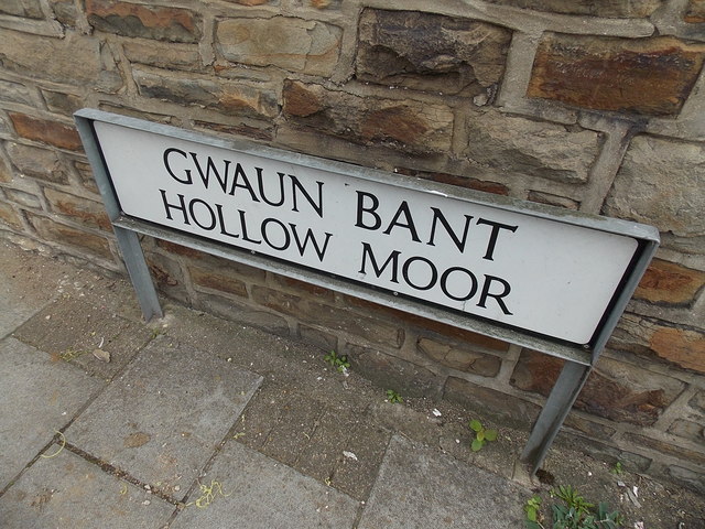
Image: © Jaggery Taken: 6 Sep 2014
The name sign here at the western end of the street shows Gwaun Bant. The name sign at the eastern end of the street shows Waun Bant. http://www.geograph.org.uk/photo/4162928
Images are licensed for reuse under creativecommons.org/licenses/by-sa/2.0
Image Location
Latitude
51.611987
Longitude
-3.584239